Blog
Zuline AvTerra Site
Air to Ground
Categories
All
(1)
drone
(1)
mapping
(1)
photogrammetry
(1)
False Colour
photogrammetry
drone
mapping
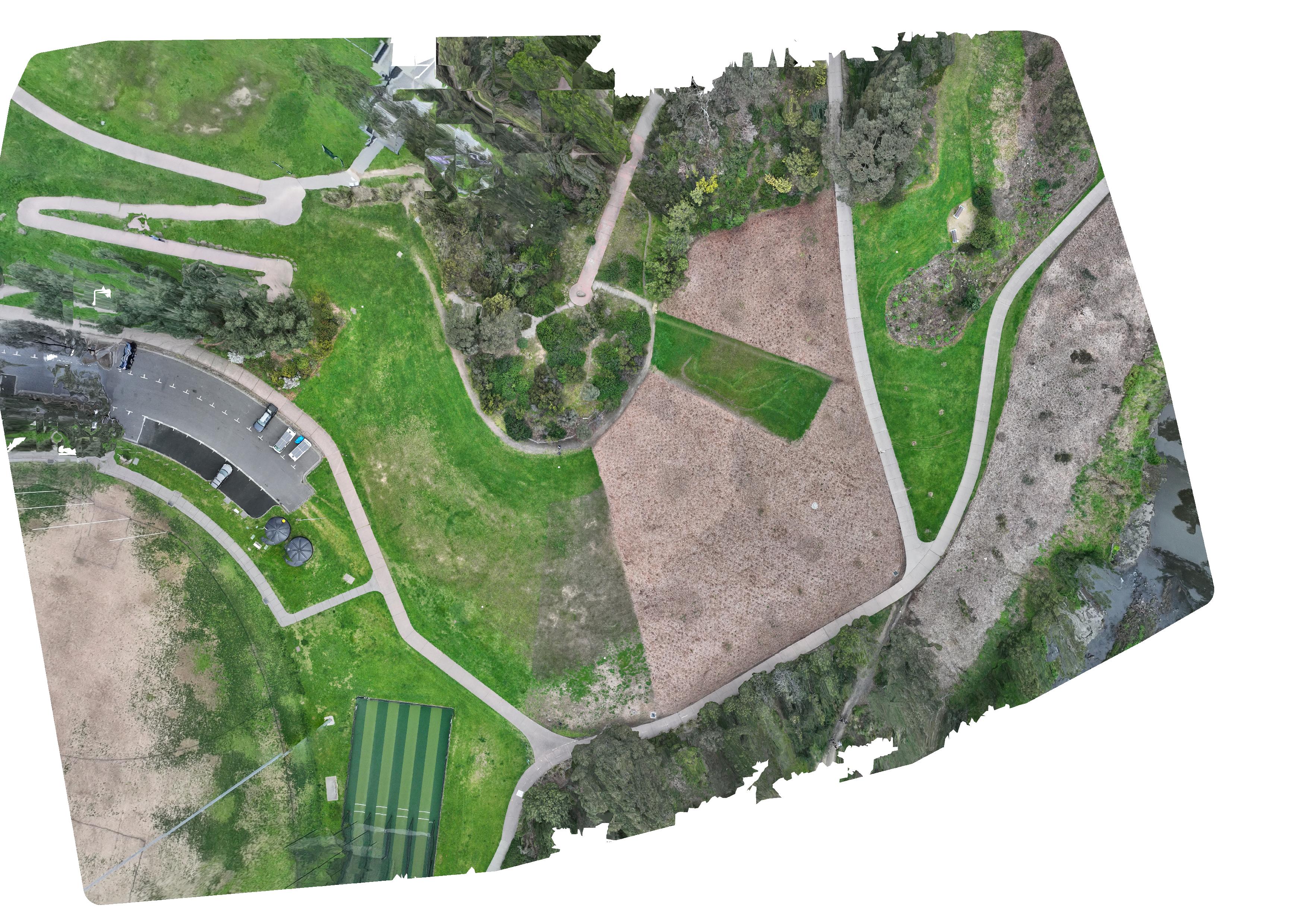
Drone photogrammetry relies on using imagery taken by a drone to create insights for users which wouldn’t otherwise be available. In this article we’re specifically dealing…
Dec 29, 2024
Mike
No matching items